- English
- Português
Languages:
This site is created using Wikimapia data. Wikimapia is an open-content collaborative map project contributed by volunteers around the world. It contains information about 32844793 places and counting.
Learn more about Wikimapia and cityguides.
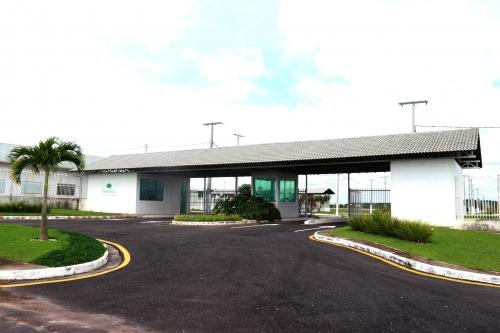
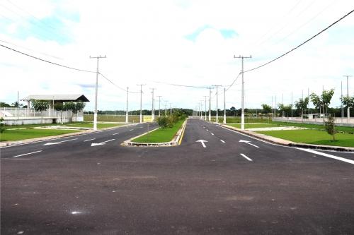
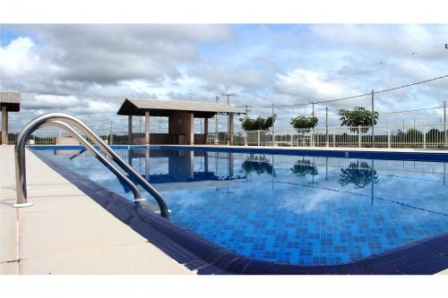
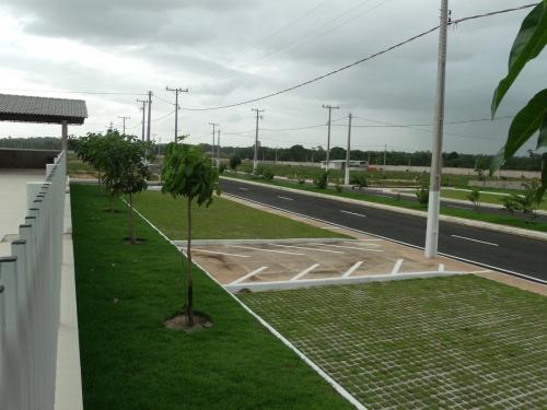
Castanhal
Castanhal is a city of over 154,000 in Brazil. Its coordinates are 1°18′S 47°55′W.
Wikipedia article: http://en.wikipedia.org/wiki/Castanhal,_Brazil
Castanhal on the map.